Posts

Showing posts from August, 2020

The week ahead – Areas of light rain for back to school Monday, but sunny weather makes a comeback with potential heatwave mid-September

Image
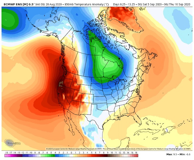
Areas of light rain or drizzle overnight possible tonight into Monday morning.  While the brunt looks north, anything that makes it this far south should dry out quickly by Monday afternoon as high pressure aloft begins to rebuild. We should be quite warm with plenty of sun much of the week, highs probably in the 80°’s by Thursday-Friday. Labor Day weekend looks marvelous and toasty with highs well into the 80°s.   Yeah, here comes September but the calendar says it’s still summer so I won’t go rooting for any windstorms just yet:) And summer looks to have at least a few more laughs.   That is we may not be done with 90°s.   The GFS model is hinting that a thermal trough will develop over the West, kicking up offshore flow and sending temperatures above 90° in many spots West of the Cascades by about Labor Day.   Best guesses at this point is the heat will probably be around more than a day or two.   At least we’ll be down to about 13 hours of daylight. Euro model ensembles als

The week ahead - Norm in Good Form

Image
 The last full week of summer break from school should be a beaut! Temperatures within a few degrees of normal (mainly highs in the mid to upper 70’s) and lots of sunshine in store, save for maybe a few morning clouds given we have some light onshore flow keeping things comfortable. The euro model had been forecasting some showers for next weekend as an upper trough sets in but moisture looks to stay north of us (for now). Have a great week!

The week ahead - Baby steps cooler ...

Image
Baby steps cooler as we slowly transition back to normal this week. Depending on where measured I think we have at least tied the record for Aug 16 th of 94° set in both 1967 and 1977 from what used to be an official weather node at Snoqualmie Falls (records dating back to 1945). Today was hot (at least by Washingtonian standards), but this deep into summer can anyone explain to me the hundreds of cars lined up all the way from Fall City to Snoqualmie Falls this afternoon and the droves of people spilling out onto Hwy 202? Floating the river is fun, but c’mon it is madness.   Not the only nice day of summer. The 90°’s heat looks short lived and the central WA coast never did get above 80° today. Something to be on the lookout for Sunday evening, a weak shortwave trough is moving through that has a slight chance of setting off a few thunderstorms over the Cascades tonight.   The Week Ahead: This week features gradual cooling.   Monday will likely remain very warm (mid-upper

Snoqualmie Valley may see hottest weather of the year this weekend

Image
A mini heatwave looks set to hit Western Washington Sunday with building high pressure expected to stoke up offshore flow.  Areas that could really heat up in this pattern are downslope of the Cascades, locally being the Snoqualmie Valley and Issaquah lowlands.  But really it will likely feel HOT most everywhere. Snoqualmie Valley has reached 90 only once this summer (92° on Jul 27 th ) and there’s been a noticeable- below normal amount of 80’s. A few more than usual green-ish lawns around too. So here’s what’s likely the next few days: Friday – mid-70°s more sun earlier in day, but onshore flow continues to keep things relatively comfortable Saturday – mid-80°’s as high pressure builds.. Sunday – low-mid 90°’s, but upper 90°’s if the offshore flow really kicks up. At least this heat isn’t coming in June.  I personally dread when that happens as the sun is up almost two hours longer vs. mid-August and there’s still a lot of pollen floating around. While the heat looks set to peak Sunda